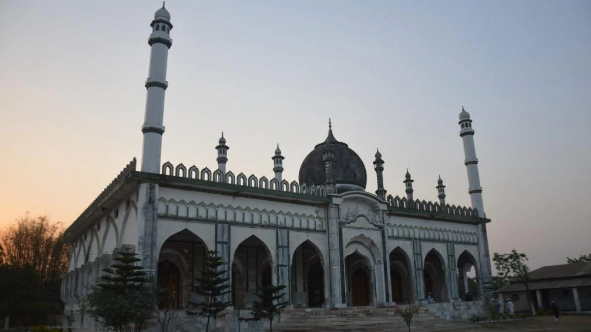
Araria District is one of the thirty-eight districts of Bihar State, India, and Araria City is the administrative headquarters of this district. Araria district is part of the Purnea division. The district covers an area of 2,830 square kilometers. It has a view of Kanchenjunga mountain (one of the great peaks of the Himalyan range). This district has a total of 2 subdivisions namely Araria and Forbesganj and 9 blocks. The Araria subdivision consists of six blocks: Araria, Jokihat, Kursakanta, Raniganj, Sikti and Palasi and the Forbesganj subdivision consists of three blocks: Forbesganj, Narpatganj and Bhargama. There are six Vidhan Sabha constituencies in this district: Narpatganj, Raniganj (SC), Forbesganj, Araria, Jokihat and Sikti. These are all part of the Araria Lok Sabha constituency
During the British period, the area where Mr. Forbes bungalow was located was called Residential Area, which people abbreviated to R. Area. Over time, R. Area. acquired the pronunciation araria. The territory of the present district became in 1964 the subdivision Araria from the former district of Purnea. Araria district was formed in January 1990 as one of the administrative districts of Bihar under Purnea division. In the First War of Independence of 1857, Araria also witnessed some skirmishes between the mutineers and Commissioner Yules forces that took place near Nathpur. In view of the episode of 1857 and other developments related to law and order, Araria was formed in the year 1864 as a subdivision by merging the small divisions of Araria, Matiari, Dimia, parts of Haveli and Bahadurganj to take care of for better governance and eventually became a neighborhood in 1990

